A phase 1 preliminary risk assessment is an integral part of the site investigation process.
The purpose of phase 1 preliminary risk assessment is to establish the historical uses and likely ground conditions of your site and the surrounding area. This allows us to identify potential sources of contamination and geotechnical features by reviewing available historical and environmental information.
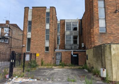
We also recommend a site walkover, to allow current site uses and ground conditions to be further determined. The information is used to establish whether there are any contaminated land and geotechnical aspects which may affect the site, which will determine whether further investigation is required in the form of a phase 2 site investigation.
Why do I need a phase 1 preliminary risk assessment?
A phase 1 preliminary risk assessment is the initial stage in determining the likely contamination and geotechnical risks on your site. It is generally the minimum requirement for planning, either for submission with a planning application or to comply with contaminated land planning conditions.
Where necessary, the information obtained from the phase 1 preliminary risk assessment will later be used to inform the phase 2 site investigation.
What does our phase 1 preliminary risk assessment include?
Our phase 1 preliminary risk assessment includes a review of available historical maps, aerial photographs, trade directories and other publicly available historical records, to determine past land uses on site and in the surrounding area.
We undertake a review of relevant environmental information to gain an understanding of the geology, hydrogeology, hydrology, flooding, mining, landfills, contaminative land uses, designated sites and unexploded ordnance (UXO).
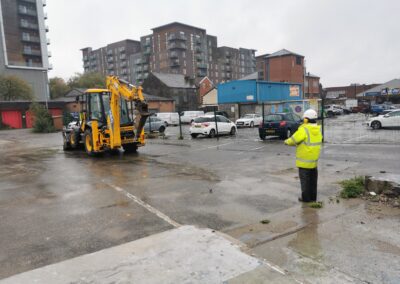
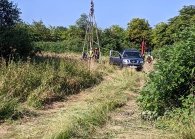
Our team will complete a site walkover to identify current land uses and ground conditions. Where possible, we carry out hand dug pits to provide additional information on the shallow ground conditions.
Our historical, environmental and site walkover information is used to establish potential contamination sources, pathways and receptors, with an appraisal of the likely pollutant linkages. Recommendations for phase 2 site investigation work are included, to confirm the risk associated with each pollutant linkage.
The phase 1 preliminary risk assessment will comply with the National Planning Policy Framework and Land Contamination Risk Management.
Our assessment can also include a geotechnical appraisal, to give an indication of the anticipated geology of the site and presence of made ground. We will identify the type and thickness of superficial deposits and the recorded solid geology. We will also identify aspects that may affect the site, such as coal mining, brine subsidence and landfill.
Our site walkover will also gain essential geotechnical information such as geomorphology and slope stability.
Why use us?
- Established over 20 years.
- One-stop multidisciplinary.
- In-house land drilling with rigs.
- Collection of technical experts.
- Ex-local authority regulators in our team.
In addition to a phase 1 preliminary risk assessment, we can also provide one or more of the following:
Coal mining risk assessment (CMRA)
A desk-based coal mining risk assessment (CMRA) is an initial assessment of the ground instability and gas risk associated with historical coal mining activity. The CMRA will include outline recommendations and potential stabilisation options, should a risk be identified.
If your site is within a Development High Risk Area (as defined by the Coal Authority), you will require a desk-based CMRA as a minimum to validate a planning application.
The CMRA report will include a review of geological data, information available from the Coal Authority, historical borehole data, historical review and any other relevant information. This includes the purchase and review of a Coal Authority Consultants Coal Mining Report.
Detailed unexploded ordnance (UXO) report
Conducting a preliminary UXO assessment will establish whether there is any risk on your site associated with UXOs and will include a review of all available information including the National Archives, historical mapping and aerial photographs.
Information on aspects such as bombing locations, military facilities and records of unexploded bombs will be used to assess the hazard level of your site and provide a risk assessment for future site activities, with a choice of risk mitigation measures.
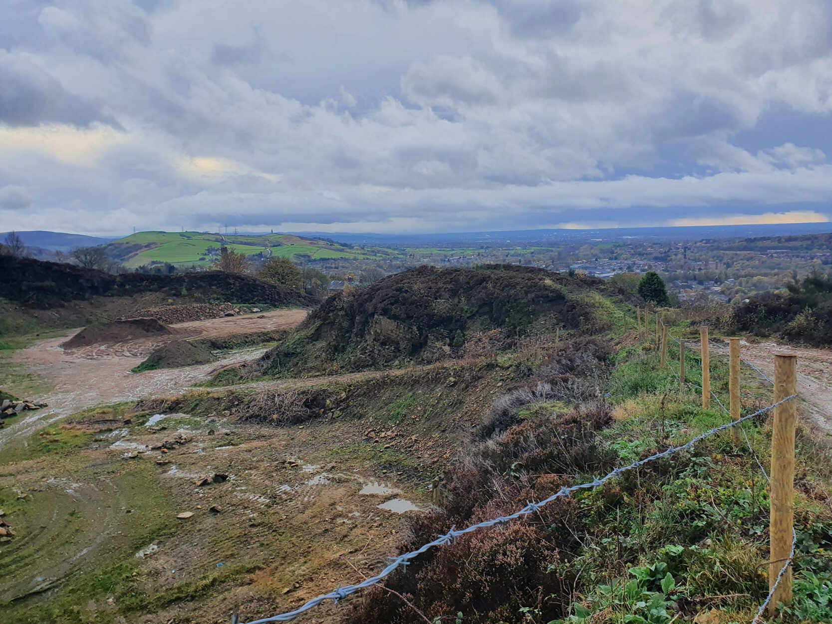
Coal mining risk assessment (CMRA)
A desk-based coal mining risk assessment (CMRA) is an initial assessment of the ground instability and gas risk associated with historical coal mining activity. The CMRA will include outline recommendations and potential stabilisation options, should a risk be identified.
If your site is within a Development High Risk Area (as defined by the Coal Authority), you will require a desk-based CMRA as a minimum to validate a planning application.
The CMRA report will include a review of geological data, information available from the Coal Authority, historical borehole data, historical review and any other relevant information. This includes the purchase and review of a Coal Authority Consultants Coal Mining Report.
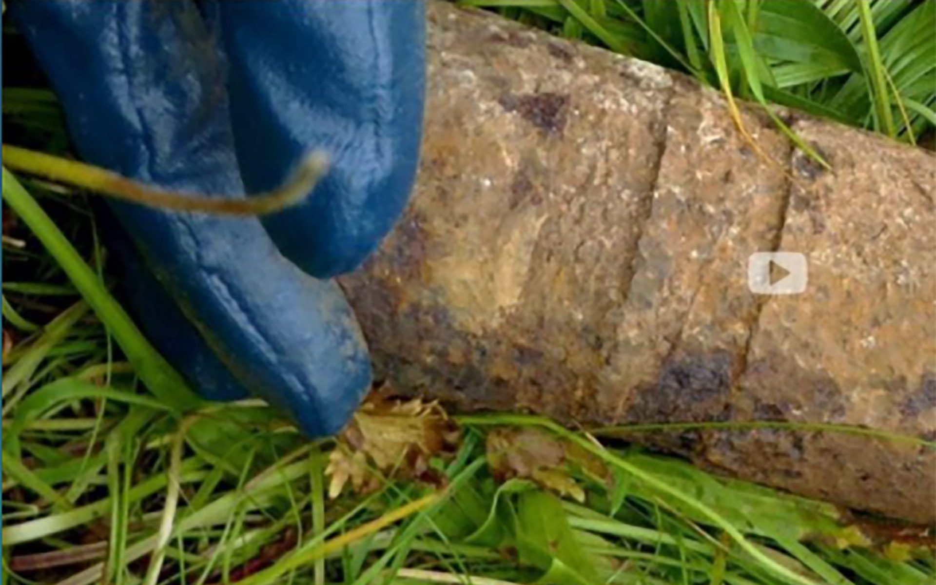
Detailed unexploded ordnance (UXO) report
Conducting a preliminary UXO assessment will establish whether there is any risk on your site associated with UXOs and will include a review of all available information including the National Archives, historical mapping and aerial photographs.
Information on aspects such as bombing locations, military facilities and records of unexploded bombs will be used to assess the hazard level of your site and provide a risk assessment for future site activities, with a choice of risk mitigation measures.
Latest case studies
Get in touch today
We have offices throughout the UK.
info@thelkgroup.com
0161 763 7200 Manchester
01793 987 390 Swindon
0151 235 8716 Liverpool
0141 773 6269 Glasgow
What our clients say
“It can be difficult to find a value-driven consultancy capable of offering meaningful and pragmatic advice at short notice. The LK Group does this. They tailor their services to a wide range of site-specific challenges on my sites and then get on with it. Their approach is always straightforward.”
Director, Lancaster Maloney Limited
WHO WE WORK WITH
SERVICES
Geotechnical
Geotechnical site investigations, slope stability, earthwork designs, plate load tests, basement impact assessments, in-situ geotechnical testing, coal mining risk assessment.
Contaminated Land
Site investigation, risk assessment, de-risking sites, validation, coal mining assessment, basement impact assessment–contamination, remediation design and validation.
SuDS and Flood Risk
Flood risk assessment, SuDS assessment and design, soakaway testing, river modelling, fluvial geomorphology, geographical information systems.
Land Drilling
All-terrain & handheld window sampling, rotary drilling, dynamic probing, concrete coring, cable percussive, gas & water installations, foundation pits, soakaways, falling head tests, CBR tests.
Land Remediation
Specialist remdiation contracting, site clearance, ground improvements, bulk earthworks, soil stabilisation, pilling matt installation, remediation strategy, site enabling works.
Japanese Knotweed
On-site spraying treatment, burial cells, screening, high-performance geo-membranes installation, off site removal, steering member of The Invasive Non-Native Specialists Association.
Project Management
Client side project management and principal designer services to property developers, local authorities and property investors.
Air Tightness Testing
Air tightness testing and reporting, energy and sustainability reports.

